Release 2 (8.1.6)
Part Number A76937-01
Library |
Product |
Contents |
Index |
| Oracle 8i Data Cartridge Developer's Guide Release 2 (8.1.6) Part Number A76937-01 |
|
![]()
![]()
This chapter explains the power demand sample data cartridge that is included with the Oracle8i Data Cartridge Software Development Kit (SDK). The power demand cartridge includes a user-defined object type, extensible indexing, and optimization. This chapter covers the following topics:
This chapter does not explain in detail the concepts related to the features illustrated. For information about extensible indexing, see Chapter 7, "Building Domain Indexes". For information about extensible query optimization, see Chapter 8, "Query Optimization". For information about cartridge services, see Chapter 9, "Using Cartridge Services"].
This chapter divides the example into segments and provides commentary. The entire cartridge definition is available online in the following location:
...directory-path?.../tkqxpwr.sql [location and name TBS]
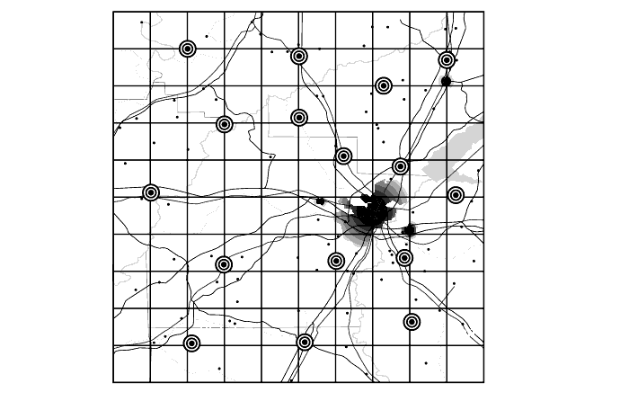
A power utility, Power-To-The-People, develops a sophisticated model to decide how to deploy its resources. The region served by the utility is represented by a grid laid over a geographic area.
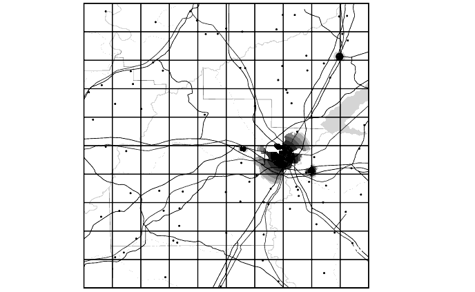
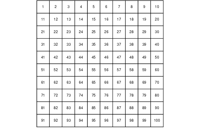
This region may be surrounded by other regions some of whose power needs are supplied by other utilities. As pictured above, every region is composed of geographic quadrants referred to as "cells" on a 10x10 grid. There are a number of ways of identifying cells -- by spatial coordinates (longitude/latitude), by a matrix numbering (1,1; 1,2;...), and by numbering them sequentially:
Within the area represented by each cell, the power used by consumers in that area is recorded each hour. For example, the power demand readings for a particular hour might be represented by Table 11-2 (cells here represented on a matrix):
The power stations also receives reports from two other sources:
By analyzing the correlation between historical power demand from cells and the temperature readings for those regions, the utility is able to determine with a close approximation what the demand will be, given specific temperatures.
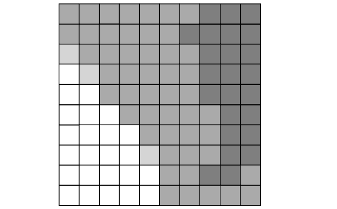
These images are designed so that 'lighter is colder'. The image above shows a cold front moving into the region from the south-west. By correlating the data provided by the grayscale images with temperature readings taken at the same time, the utility has been able to determine what the power demand is given weather conditions viewed from the stratosphere.
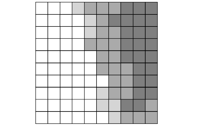
The reason that this is important is that a crucial part of this modeling has to do with noting the rapidity and degree of change in the incoming reports as weather changes and power is deployed. The following diagram shows same cold front at a second recording:
By analyzing the extent and speed of the cold front, the utility is able to project what the conditions are likely to be in the short and medium term:

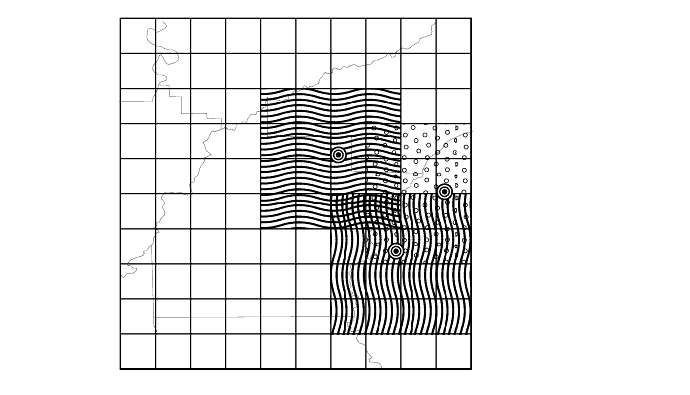
By combing this data about these conditions, and other anomalous situations (such as the failure of a substation) the utility must be able to organize the most optimal deployment of its resources. The following drawing reflects the distribution of substations across the region:
The distribution of power stations means that the utility can redirect its deployment of electricity to the areas of greatest need. The following figure gives a pictorial representation of the overlap between three stations:
Depending on fluctuating requirements, the utility must be able to decide how to deploy its resources, and even whether to purchase power from a neighboring utility in the event of shortfall.
|
|
 Copyright © 1996-2000, Oracle Corporation. All Rights Reserved. |
|